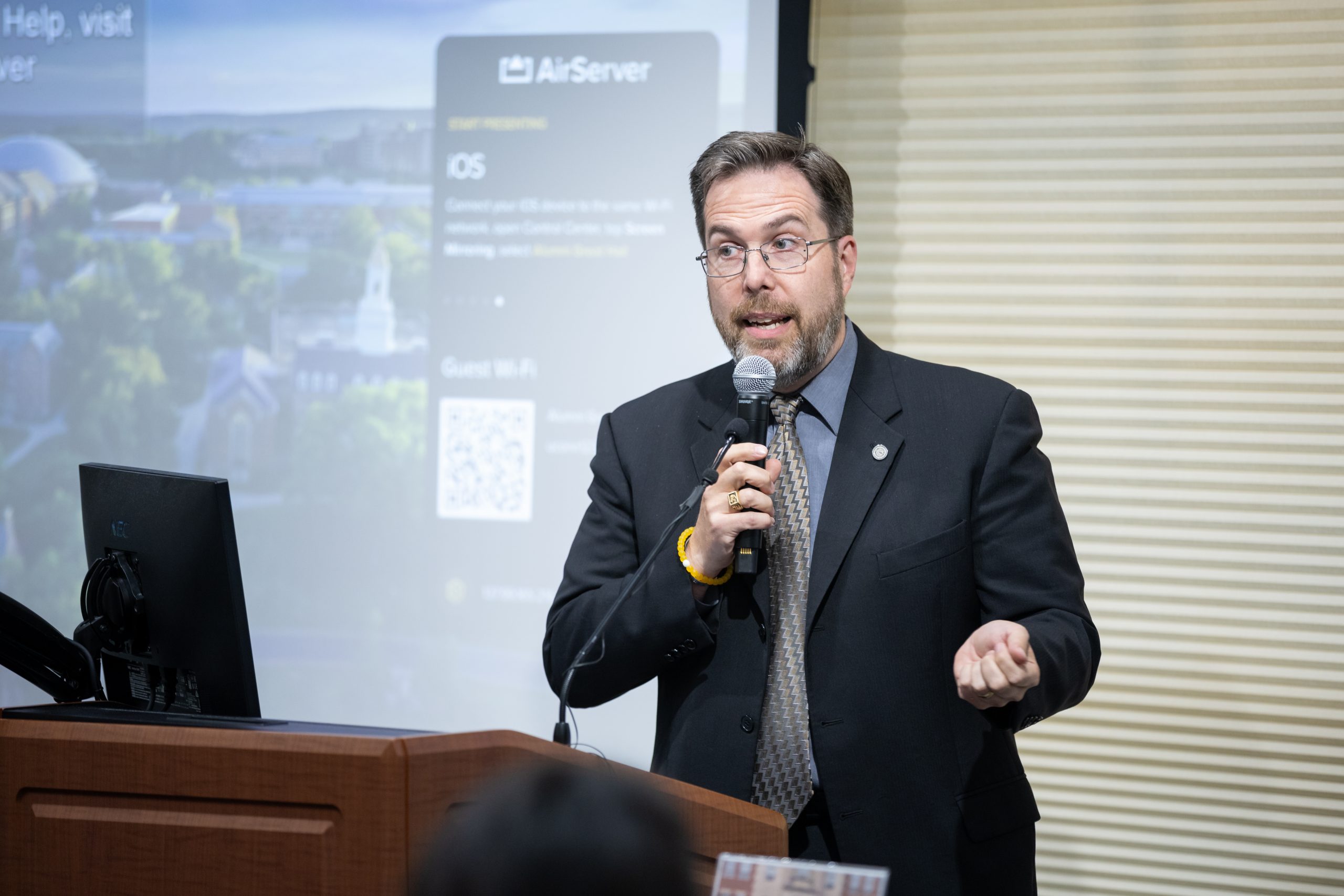
“There aren’t a lot of geodesists, but it’s good to have a few of us around,” says Thomas Meyer, a professor in the Department of Natural Resources and the Environment (NRE) and current president of the American Association for Geodetic Surveying.
Geodesy is a specialized field that uses mathematics and physics to measure the shape and size of the Earth, its gravitational field and its geophysical changes over time, such as plate tectonics, glacial melting and sea level rise. Meyer is engaged in a number of research projects that use geodetic technologies and methods to research animal behavior and improve map projections.
“Coordinate systems are the primary product of geodesy,” says Meyer. “Longitude and latitude don’t just exist – they have to be created. Geodesists are responsible for ensuring that the spatial coordinate systems people use to map and locate places or navigate are accurate.”
All maps are compiled from measurements that ultimately must produce spatial coordinates for the features being mapped, so all surveyors and mappers use spatial coordinate systems. Meyer teaches a land surveying course in which students learn how to use spirit levels and total stations for mapping areas roughly the size of the Storrs campus. During the course, students take measurements to compile maps that are used by UConn’s Facilities Operations.


